|
Index
|
These map drawings are derived from USGS maps with the assistance of a Garmin Etrax GPS unit, a Delorme Earthmate GPS unit and Delorme mapping software. These GPS "tracks" have been collected from many outings during the years of 2002, 2003, 2004, 2005, and 2006.
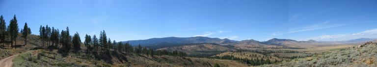
The roads shown (in black and red) are the roads that we have traveled on. The roads that we haven't driven on, are not represented here. Here and there are blue camera symbols. Clicking on these symbols will display a photograph that was taken from that spot. WARNING: I've tried to be as accurate as possible when building these maps but errors always have a way of sneaking in. Roads, road numbers, road number signs may have changed (or disappeared) since we traveled the road. The roads may be in worse shape when you try to travel on them than when we travel them due to erosion and stuff. So use these maps at your own risk and travel at your own risk!
There are some roads that were in bad shape when we traveled them. Road 131 in the upper part of Dog Valley (left part of the map) starts and ends ok but the middle runs in the creek bed and was filled with rocks some the size of small bolders. My traveling companions have threatened dire consequences if I try to take them there again!
Also note: There are lots of areas where there isn't any cell phone coverage so even if you have a GPS and a cell phone, you may have to walk a bit before you can call for help and let them know where you are if you get stuck or break down.The map covers Dog Valley and Peavine and is comprised 10 segments. Clicking on the map will display a larger version of that segment. |
|
|